
Erie County Neighbors by Parcel
The defensible Erie County neighbors method starts with parcel geography. A map can show which parcels touch or face the focal address, while the assessment search and Recorder answer narrower property questions. The public results do not create a household list. They identify a parcel, a transaction, or a title trail only to the extent the appropriate custodian permits. Keep owner, occupant, voter, and association-contact information separate because they are not interchangeable facts.
| Source | What It Shows About a Block | Access |
|---|---|---|
| County GeoHub parcel app | Parcel shapes, street geometry, and related public GIS information | County public map applications are free; live app tools vary. |
| County Property Search | Focal-address and parcel route | Current owner detail is in the registered, logged-in $100 Owner tab. |
| Recent Property Transfers | Address, event, seller, buyer, instrument, date, and reported price | Public event table, not proof of current residents. |
| Recorder and INFOCON | Party and title history for a legal parcel | Subscriber or counter route; no assumed address search. |
| Voter public list | Statutorily defined voter data | Controlled purpose statement; no Internet publication. |
| Neighborhood associations | Public meeting and contact route | No public household roster found. |
| City eGovPLUS | Issued-permit or property lead | Does not establish a resident list. |
A parcel boundary is a practical starting point even when it yields no name. It tells the researcher which property, assessment, or Recorder channel applies to each side of the block.
Map Erie County Neighbor Parcels
Use the Erie County GIS GeoHub to locate the focal address or parcel and inspect the nearby geometry. The County describes its public GIS web applications and maps as free. The GeoHub landing page does not verify every possible selection, measurement, buffer, or layer control, so do not assume a tool that is not visible in the live parcel app. Record only the parcel number, jurisdiction, street pattern, and the parcels that share a boundary or face the same segment.
- Find the focal address or parcel in the County map application.
- Note the parcel identifier and the neighboring parcel shapes that are actually visible.
- Use the County property route or recent-transfer table for each relevant parcel, within its access limits.
- Use the Recorder when a legal description or title question needs a deed-chain reference.
- Move to the Erie County street directory only when the question becomes a full named-street record trail.
This sequence is parcel-first by design. It avoids guessing that every person associated with an address is a neighbor, an owner, or a present occupant.
Erie County Neighbors and Owner Gates
The County property page permits public address, parcel, map, and transfer routes, but it specifically puts owner information in a separate Owner tab. The stated condition is registration, login, and a $100 payment to unlock the tab. There is no free owner tab to use as a block roster. A situs address is the location of the parcel, while any owner mailing information can be different and was not verified as openly displayed in the research sweep.
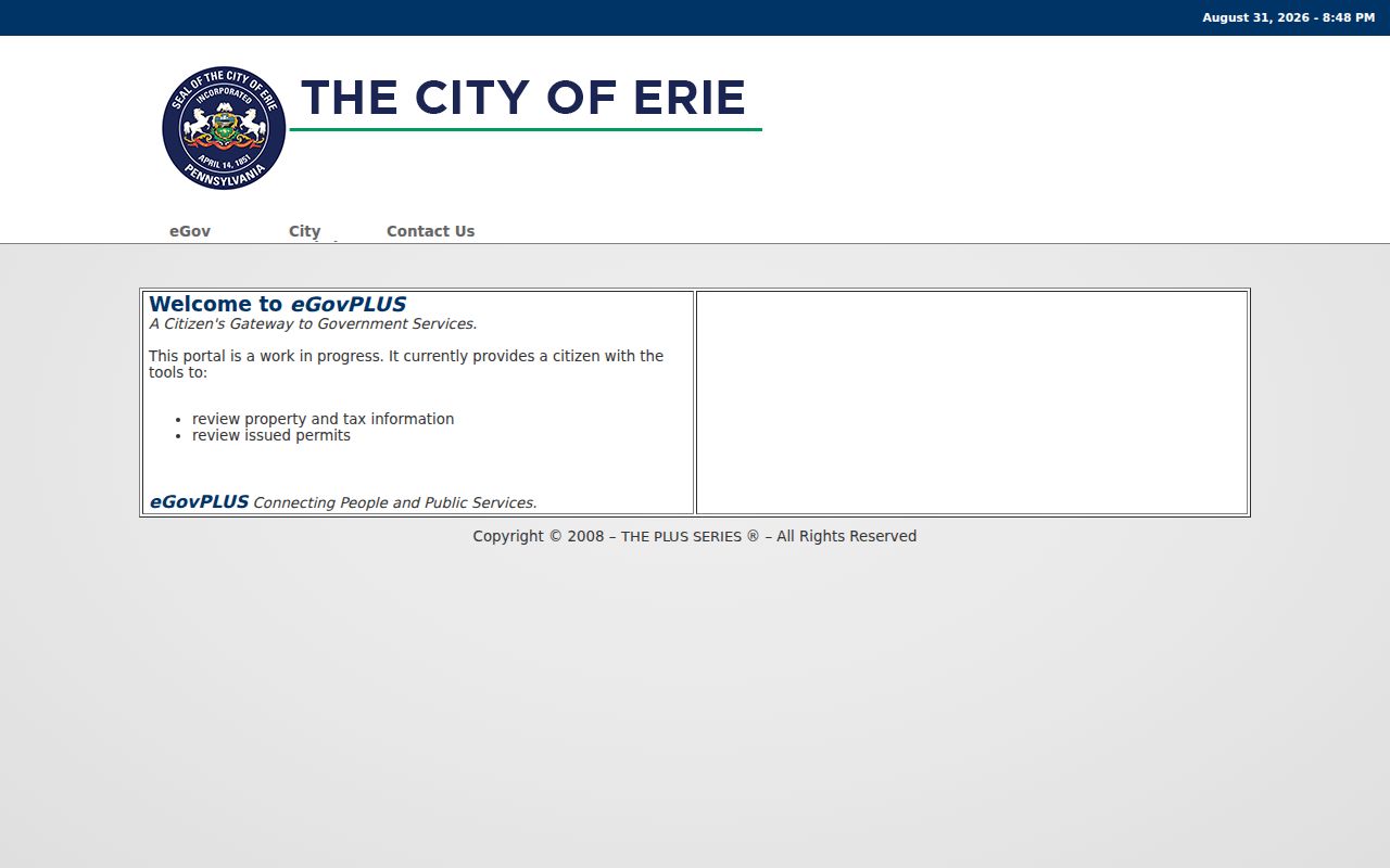
The City eGovPLUS landing page advertises issued-permit review and property or tax information. It is a way to identify a dated local activity lead, not evidence that an applicant, owner, or occupant is a current neighbor.
Use a permit date to understand a property event, then ask the correct City office about any public record or copy route. A County Right-to-Know officer cannot supply City material that belongs with the City.
Erie County Transfer Clues for Neighbors
Recent Property Transfers can describe block-level change without naming a current household. Its public rows can show municipality, address or details, seller, buyer, instrument description, amount when reported, and date. A sale price can be blank, a buyer can be an entity, and a transfer label is not the deed itself. A careful Erie County neighbors review uses the transfer as a dated lead and checks a Recorder document when the legal parcel connection matters.
INFOCON labels scanned deed books 1 through 1191 as prior to 1976 and separately labels grantor or grantee history and maps for 1976 through 1995. Ask the Recorder about the current index cutoff and image access for the exact document. That history explains why a title trail can cross different systems.
For a title question, search the present owner or entity as grantee after the legal description is known, then identify the prior grantor and repeat the check. Reconcile the lot, block, or subdivision description at every step. An address alone is not normally the index key for a grantor or grantee record. This is a land-record method, not a way to identify every person connected with a neighboring building.
Note: A property conveyance identifies parties to that event, not everyone living near the parcel.
Erie County Neighbor Association Contacts
Community organizations add a voluntary contact layer to the block. They are useful for meeting information, neighborhood projects, or public activity, not for identifying households. The City My Neighborhood Map has Neighborhood Associations and Neighborhood Organizations layers. Association fields include name, meeting time, meeting place, website, and contact. The map is civic geography, not proof of membership or residence.
| Community route | What the public route provides | Boundary |
|---|---|---|
| Little Italy Neighborhood Association | Association contact pathway through the neighborhood network | Not a member or household roster. |
| Eastside Neighborhood Association | Association contact pathway through the neighborhood network | Use the group’s own terms for participation. |
| Central City Alliance | Community activity contact pathway | It does not verify who lives on a block. |
| City association layers | Public place, meeting, website, and contact fields | Contacts and geography only. |
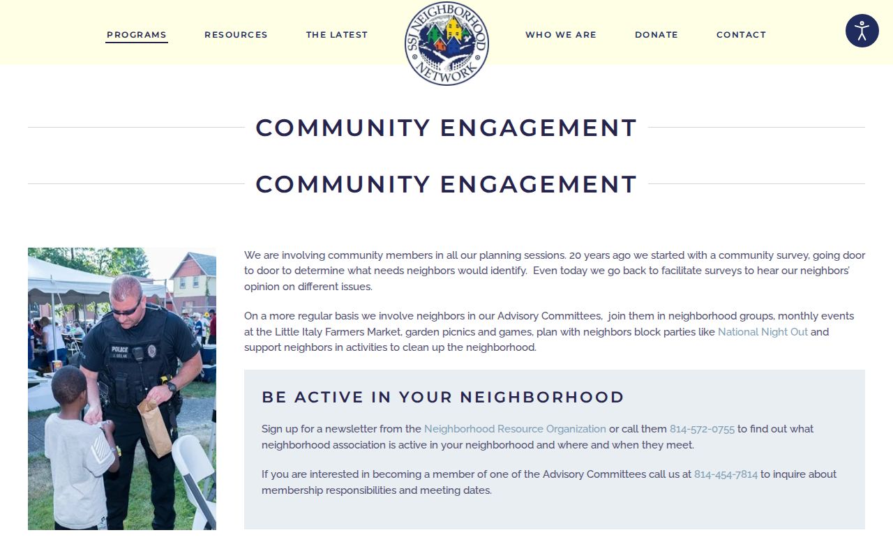
The Sisters of St. Joseph Neighborhood Network identifies Little Italy, Eastside, and Central City routes and directs people to its umbrella Neighborhood Resource Organization for current activity.
Ask an association directly about a public meeting or activity. Do not scrape, republish, or infer private member contacts from a community list.
The City layer also maps groups such as East Bayfront, West Bayfront, Glenwood Heights, Garden Court, Skyline, Eagle Watch, Greater Kahkwa, Bay and Harbor, Downtown, and Academy. A mapped group can help identify the appropriate civic contact for an area. It does not mark the boundaries of a household list or establish affiliation for any particular address.
Erie County Voter Limits for Neighbors
Pennsylvania’s Check My Registration Status is for an individual’s own status, not a neighbor-browsing method. The form uses identifying details and can return a matched person’s status card, but it cannot be used to infer ballot selection. Ballots are secret. Erie County Voter Registration maintains the local list and is the correct contact when a person needs help with their own record.
Under 25 P.S. § 1404, a public information list is a separate controlled process. The requester must identify themselves and provide the written election, political, or law-enforcement use statement required by the statute. Street-list and walking-list products remain limited-purpose election records, and the data may not be published on the Internet.
Erie County Neighbor Search Comparisons
Official property and civic sources show a defined record with a named custodian. Commercial neighbor-search categories often combine older public and other data, which can be stale, conflated, incomplete, or wrong. Neither category supplies permission to expose a protected address or to claim that a person occupies a parcel. The official route is the better choice when a transfer, document, or association contact needs confirmation.
| Official Erie County source | Commercial neighbor-search category |
|---|---|
| Identifies a particular parcel, transfer, filing, or civic contact and its custodian. | May combine data from different dates and sources without proving a current connection. |
| Has stated access limits, correction routes, and document boundaries. | Cannot override confidentiality rules, sealed files, or records-custodian decisions. |
| Supports a narrow, verifiable question. | Should not be treated as a household roster or location claim. |
Erie County Neighbors and Public Safety
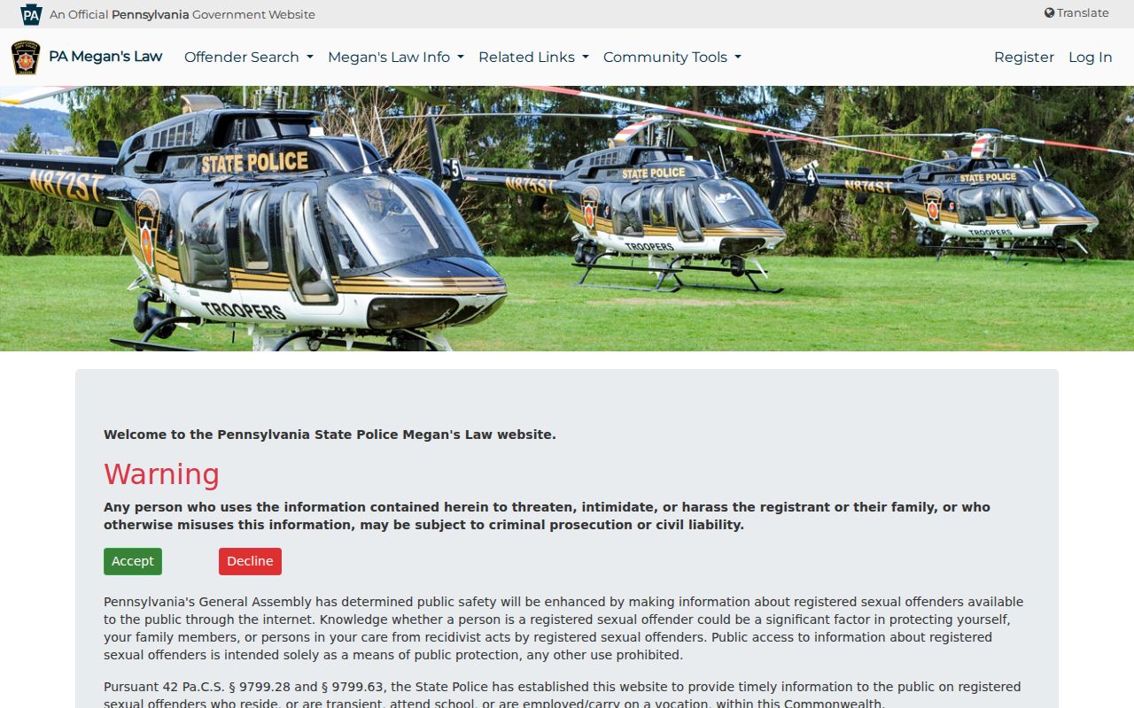
The Pennsylvania State Police Megan’s Law website is a legal public-safety registry with its own terms and search modes. It is not a neighbor search, a parcel-owner source, or a way to investigate people around an address. A registry result never justifies private action, threats, intimidation, or harassment. Use the official public-safety context exactly as the State provides it, and report immediate danger to emergency services.
The Pennsylvania Megan’s Law public website is the source for its registry information and terms.
Keep public safety and block research distinct. An address, a parcel, or an association contact does not establish a person’s identity or legal status.
Privacy Limits for Erie County Neighbors
Pennsylvania Right-to-Know Law exemptions include Social Security numbers, driver-license numbers, personal financial information, personal phone numbers, personal email, confidential identifiers, and other protected personal data. Agencies redact separable exempt material. The Driver’s Privacy Protection Act also restricts motor-vehicle personal information. Private utility customers, delivery information, and household composition are not public block-search substitutes.
The Pennsylvania Address Confidentiality Program permits eligible survivors to use a substitute mailing address in specified public systems. That address is a boundary, not a clue. Associations also choose their own contact terms, and an absence from an association or an official record does not mean a person does not live nearby.
When an agency record needs correction, take the parcel, case, or record number and supporting documentation to the custodian that maintains it. A broad request to erase public material does not alter an official record. For non-government publisher information, use that publisher’s own correction or removal process and retain the confirmation. Do not edit a recorded document image or assume a redacted image removes all access rules.
Lawful use. Use Erie County neighbors information for personal, lawful civic or property research. Never use it to threaten, repeatedly contact, stalk, harass, or harm another person.