
Erie County ZIP Directory Coverage
The City of Erie's official ZIP feature layer lists eleven mapped City features. The table records the values returned by that layer, not a promise about USPS delivery, county coverage, or a municipal boundary. Each row has post office value Erie, PA in the City data. Use the USPS address result for a specific street, and do not use a generic postal map to decide whether an address is inside the City or County jurisdiction.
| ZIP | Areas Covered | Post Office | Notes |
|---|---|---|---|
| 16501 | City of Erie map feature | Erie, PA | Verify a delivery address with USPS. |
| 16502 | City of Erie map feature | Erie, PA | Verify a delivery address with USPS. |
| 16503 | City of Erie map feature | Erie, PA | Verify a delivery address with USPS. |
| 16504 | City of Erie map feature | Erie, PA | Verify a delivery address with USPS. |
| 16505 | City of Erie map feature | Erie, PA | Verify a delivery address with USPS. |
| 16506 | City of Erie map feature | Erie, PA | Verify a delivery address with USPS. |
| 16507 | City of Erie map feature | Erie, PA | Verify a delivery address with USPS. |
| 16508 | City of Erie map feature | Erie, PA | Verify a delivery address with USPS. |
| 16509 | City of Erie map feature | Erie, PA | Verify a delivery address with USPS. |
| 16510 | City of Erie map feature | Erie, PA | Verify a delivery address with USPS. |
| 16511 | City of Erie map feature | Erie, PA | Verify a delivery address with USPS. |
The City ZIP feature-layer query is the source for these exact mapped values. It is a City GIS layer, not a complete Erie County postal inventory.
Erie County ZIP Directory Workflow
A postal code is best used as an address check before record research. USPS validates a particular delivery address. County systems then work with the address components, municipality, or parcel number. This order avoids a common error: treating a ZIP as if it were a property-search filter or proof that an address belongs to one municipality. Once an address has been confirmed, the parcel and Recorder route can supply a much more stable record key.
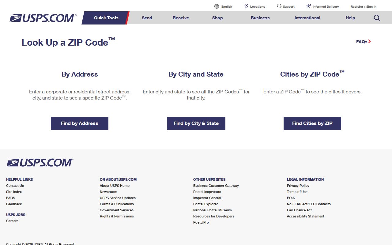
- Enter the complete street address in USPS ZIP Code Lookup and retain the postal result for that address.
- Use the returned street form and municipality to search the Erie County Property and Tax Search by house number, direction, and street name.
- Record the 14-digit parcel number when a matching property is found. A parcel is stronger than a ZIP for County assessment, map, and deed work.
- Use the parcel map or Recorder channel when the question concerns a legal description or recorded transfer rather than delivery routing.
- If a broad public dataset is needed, ask the appropriate custodian whether it can be produced by ZIP and under what access rule or fee.
The official USPS ZIP Code Lookup is the required address-specific starting point for Erie County ZIP code directory research.
For a confirmed address that needs a street-by-street parcel trail, the Erie County street directory explains the County address, transfer, GIS, and Recorder sequence.
Erie County ZIP City Layer
The City layer's 16501 through 16511 sequence is a useful geography layer for the dense City context. It is intentionally narrower than a countywide delivery inventory. An Erie, PA mailing city can extend into Millcreek, Harborcreek, Summit, Wesleyville, and other County municipalities, while other County places use their own post-office identities. That is why the 165xx series should be read as a postal cluster rather than a city-limit map.
This is a practical numbers check: the official City data supplies exactly eleven mapped ZIP features, all with Erie as the post office value. It does not say every address carrying one of those codes lies in the City. Municipal jurisdiction should come from the parcel, the municipality shown in County records, or the responsible local office.
Erie County ZIP Search Limits
No County or City portal found in the research has an all-ZIP public records filter. The County property screen offers address components, a separate 14-digit parcel mode, transfer dates, and municipality. It does not expose a ZIP field. UJS Case Search has county, date, and case filters rather than a residential ZIP browse. The Pennsylvania voter status form includes ZIP as part of an individual confirmation, not as a way to browse people or streets.
| Tool or method | ZIP field or method | What it can do | Limit |
|---|---|---|---|
| USPS ZIP Code Lookup | Specific street-address lookup | Validate a delivery ZIP for the submitted address | Not a parcel or resident search. |
| County Property and Tax Search | No ZIP filter | House number, direction, street name, or 14-digit parcel route | Use USPS-verified address parts instead of a ZIP query. |
| Recent Property Transfers | No ZIP filter | Oldest date, newest date, and municipality filters | Results are events, not a ZIP-wide occupancy list. |
| UJS Case Search | No residential ZIP browse | County, date, and case search controls | A docket is not address proof. |
| PA voter self-status | ZIP used with individual identifying data | Confirms one person's registration status | Not a ZIP directory or a street browse. |
Do not infer a filtering ability from a ZIP displayed in a result. A portal can show a postal value after a search while still having no way to search an entire ZIP.
Erie County ZIP Address Keys
Three address keys serve different purposes. The situs address is the physical parcel location, and it is what the County address form breaks into house number, direction, and street name. A mailing address is a correspondence location tied to a record holder; it can differ from the situs address and is not a free field to assume because the County property site gates owner details. A legal description or parcel number identifies land for assessment mapping and Recorder work. Erie requires 14 digits with no spaces in parcel-number mode.
- Situs address
- The physical address assigned to the parcel for location and assessment purposes.
- Mailing address
- A correspondence address that can differ from the parcel's physical location.
- Legal description
- Lot, block, subdivision, or another land description used in deeds and maps.
Use the legal description when a historic deed has no modern street number. A postal code can help validate present delivery, but it cannot bridge old deed language by itself.
Erie County ZIP Code Directory Mismatch
A ZIP is a delivery-routing area, not a municipal or County line. The safest record path is address first, then municipality and parcel. That matters especially for an Erie mailing city, where the postal label may be shared across City and nearby County delivery areas. It also prevents a false conclusion that a result belongs to the City merely because it carries a 165xx code.
PO-box and unique ZIPs deserve the same caution. The County research did not establish a final current inventory of such codes, so no local code should be labeled one without an address-specific USPS check.
- ZIP versus ZIP+4
- A five-digit ZIP identifies a delivery area; ZIP+4 adds a more specific delivery segment.
- PO-box ZIP
- A code assigned to box service. It should not be treated as a geographic residential area.
- Unique ZIP
- A code serving one organization or high-volume delivery point, not a general neighborhood boundary.
- Carrier route
- A postal delivery grouping, not a municipal boundary or a resident roster.
Note: When the mailing result and parcel municipality differ, preserve both facts and ask the record custodian which jurisdiction controls the record sought.
Rural Erie County ZIP Routes
The research supports a cautious routing list for County post-office areas: 16401 Albion, 16405 Lake City, 16410 Cranesville, 16412 Edinboro, 16413 Elgin, 16415 Fairview, 16417 Girard, 16421 Harborcreek, 16426 McKean, 16427 Mill Village, 16428 North East, 16430 North Springfield, 16432 Riceville, 16435 Springboro, 16436 Spring Creek, 16440 Venango, 16441 Waterford, 16442 Wattsburg, and 16443 West Springfield. These describe post-office or borough and township relationships found in the research, not plotted delivery boundaries.
Several nearby codes require an exclusion or an actual-address check. Do not include 16411 Conneaut Lake, 16422 Harmonsburg, 16424 Linesville, 16433 Saegertown, or 16434 Spartansburg as Erie County coverage without USPS proof because the research places them mainly in Crawford County. Treat 16438 Union City as Erie and Crawford area only after verification. The current status of 16423 and 16444 was not validated, and 16475 was not located in official sources.
USPS validation remains necessary for each rural road. A countywide list cannot prove a particular address's delivery service or municipal location.
Erie County ZIP History
ZIP Codes are modern delivery geography, so they cannot describe every older address record. Erie's original city grid began with Andrew Ellicott's 1795 plan. In the City, the numbering scheme begins from Front Street for north and south streets and State Street for east and west streets. Those historic street forms, rather than a current ZIP, are the key to comparing an older printed address with a modern parcel.
The 1851 Bevan map shows dwellings, streets, and a business directory. Later Sanborn editions for 1888, 1900, 1921, and 1950 help document built form and street context. The Heritage Room adds Erie directories from 1853 and Millcreek volumes from 1957. Use a dated map or directory to interpret the address before applying today's postal geography.
Erie County ZIP Privacy Bounds
The state voter tool asks for identifying information, including a ZIP Code, to let an individual check registration status. It is not a public ZIP list. The separate voter-list process under 25 P.S. § 1404 requires identification and a written statement for the permitted election, political, or law-enforcement uses, and it prohibits Internet publication. A postal code is not a shortcut around that boundary.
Protected addresses and private account data must remain protected. A ZIP narrows a delivery route, not a person's current location, household, or contact details.